MAJOR HIGHLIGHTS
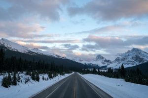
From glacier-clad peaks along the Continental Divide to the dry grassy slopes of the Columbia Valley, where even cactus grows, Kootenay National Park is a land rich in variety. The Highway (#93 South), the first motor road across the Canadian Rockies, takes you through the park along the Vermilion and Kootenay rivers and through the narrow gorge of Sinclair Canyon. The village of Radium Hot Springs, just outside the south end of the park, is the closest visitor service centre.
The village of Field is the main visitor service centre in the park.
| Established: | Size: | Number of visitors / year: |
| 1920 | 1406 square km 543 square mi | about 1.2 million |
1A. Kootenay Park Information Centre
(3 km from Radium; 347-9505)
Located at the Radium Hot Springs Pools:
– Park information, maps, brochures, passes, permits, backcountry reservations
– Friends of Kootenay National Park gift shop (summer only)
Open hours:
SPRING (MAY 16/17 & MAY 30 – JUN 26): 9 am – 5 p.m.
SUMMER (JUN 27 – SEP 06): 9 am – 7 p.m.
FALL (SEP 07 – SEPT 20): 9 am – 5 p.m.
The rest of the year, call: (250) 347-9615
1B. Vermilion Crossing Visitor Centre
(63 km from Radium)
Operated by Kootenay Park Lodge (no telephone). Offers most Parks Canada information services.
Open hours:
SPRING (APR 09 – MAY 10, FRI-SUN & HOLIDAYS): 11 am – 6 p.m.
SUMMER (MAY 15 – SEP 27, DAILY): 10 am – 6:30 p.m.
FALL (OCT 02 – OCT 12, FRI-SUN & HOLIDAYS): 11 am – 6 p.m.
2. Sinclair Canyon
(1.5 km from Radium)
Just inside the park ’s West Gate, Sinclair Canyon offers a dramatic park entrance. One kilometre ahead are the Hot Springs Pools and, a kilometre further, the iron-rich cliffs of the Redwall Fault. Watch for bighorn sheep.
3. Valley View Interpretive Trail
(2 km from Radium)
Enjoy views of the Columbia Valley, and learn about the natural history of a Douglas fir forest typical of the warm, dry slopes in the Radium Hot Springs area on this 2.8 km (return) trail which starts near the Redstreak Campground entrance.
4. Radium Hot Springs Pools
(3 km from Radium; 250-347-9485)
To Canada ’s Aboriginal people these were sacred waters — a place to cure illness and achieve spiritual peace. Look for the booklet Nipika to learn about the history of the springs. Today thousands of people are rediscovering the power of these waters to relax tired muscles and soothe troubled spirits. There is a hot soaking pool, for relaxing (40°C), and a cooler swimming pool.
– Locker rooms, showers, swimsuit and towel rentals; massage by appointment
– Park Information Centre (see 1A.)
– Open year-round; hours and admission fees vary by season — see the brochure Soak in Some History
5. Olive Lake
(13 km from Radium)
Don ’t miss this little spot: a spring-fed lake with clear, shallow water bordered by a fully accessible boardwalk trail with interpretive panels.
6. Kootenay Valley Viewpoint
(16 km from Radium)
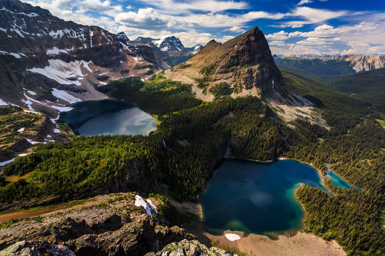
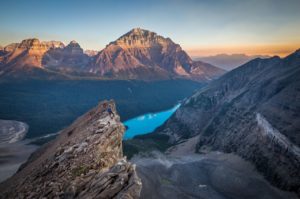
Stop here for a dramatic overview of the Kootenay River Valley and the peaks of the Mitchell and Vermilion ranges.
7. Mount Wardle
(48 km from Radium)
Mount Wardle is home to a large population of mountain goats. For most of the year they live high on its slopes and crags, but in spring and early summer they and their newborn kids come down to lick the minerals in the banks beside the road. Watch for stopped vehicles, and remember to pull safely off the roadway before you stop to view wildlife.
8. Paint Pots
(85 km from Radium)
A 1.5 km trail leads to the Paint Pots: cold, iron-rich mineral springs which bubble up through small pools and stain the earth a deep ochre colour. Interpretive panels and a display describe the Aboriginal and European mining history of this unusual geological feature.
9. Marble Canyon
(88 km from Radium)
Blue glacial meltwater, grey limestone walls, and green cliff-dwelling plants make this a colourful place. A 0.8 km interpretive trail crisscrosses the narrow gorge and ends at a pounding waterfall.
10. The Continental Divide and Fireweed Trail
(95 km from Radium)
The summit of Vermilion Pass (1651 m) marks the dividing line between Kootenay and Banff National Parks, and between Pacific and Atlantic watersheds. It was also the site of a large wildfire in 1968. The Fireweed Trail takes you on a 0.8 km interpretive loop through the regenerating forest.

Be First to Comment